Table of Contents
- What Geotagging Is and How It Works in Field Operations
- Core Benefits of Geotagging for Field Documentation
- How to Capture Precise GPS Coordinates for Professional Compliance
- Best Practices for Site Photo Documentation and Organization
- Mobile Field Reporting Tools and Professional Report Generation
- Privacy, Security, and Data Compliance in Field Work
- Real-World Applications Across Industries
- Conclusion
Last Updated: August 28, 2026
What Geotagging Is and How It Works in Field Operations
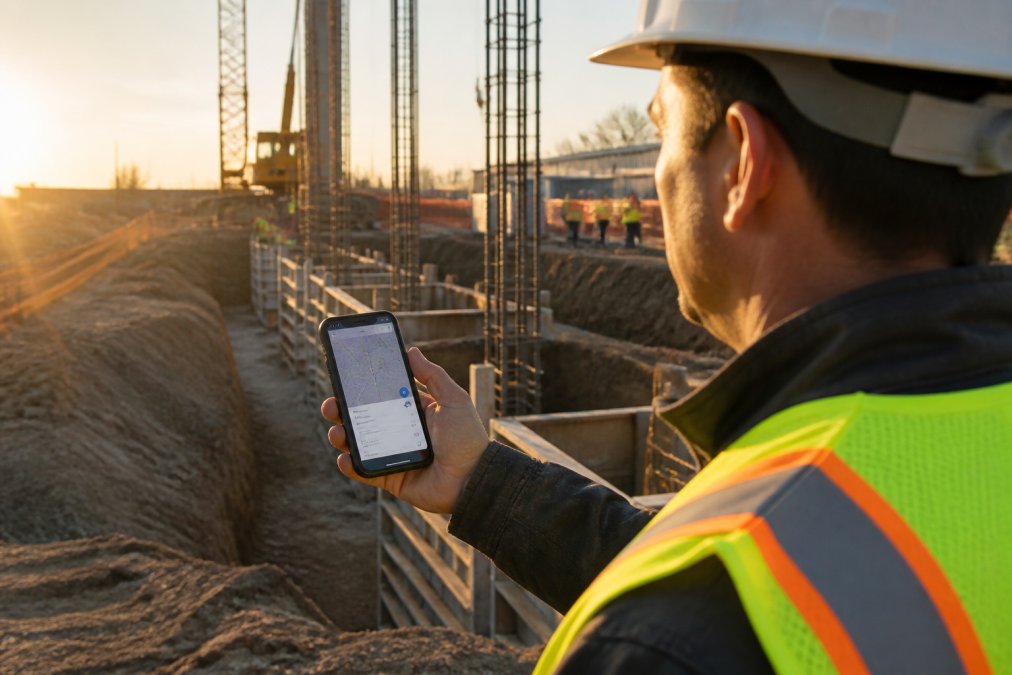
Geotagging in field work is the automatic or manual process of attaching geographic coordinates, timestamps, and location metadata to images and records captured during on-site inspections, surveys, and documentation. When you photograph a construction defect, environmental condition, or infrastructure issue, geotagging embeds the exact latitude, longitude, date, and time directly into that image’s EXIF metadata. This transforms a simple photo into a searchable, location-verified document that proves when and where something was observed.
The technical foundation rests on three core components: GPS receivers in your mobile device calculate precise location by triangulating satellite signals, EXIF metadata stores this location information alongside the timestamp inside the image file itself, and timestamped records create verifiable proof of when and where observations occurred.
The Technical Foundation: GPS, EXIF Metadata, and Timestamped Records
GPS accuracy in open field environments typically achieves 5-10 meters under clear sky conditions, though urban canyons, dense tree cover, and indoor spaces degrade accuracy significantly (peer-reviewed research). EXIF metadata embeds location data directly into the image file, so the metadata travels with the photo and cannot be lost or altered separately.
Timestamped records serve a critical compliance function. When a photo’s metadata shows it was captured at 2:34 PM on March 15, 2026, at coordinates 43.6629° N, 79.3957° W, you have irrefutable proof of when and where the observation occurred. This matters for construction defect documentation, environmental surveys, and infrastructure maintenance reports, preventing disputes about sequence of events.
Automatic vs. Manual Location Logging
Most modern field documentation apps, including PhotoLog, capture GPS location automatically when you take a photo without requiring manual coordinate entry for each image. Manual location entry exists as a fallback for situations where GPS signal is weak or unavailable, allowing you to add typed or voice notes alongside geotagged photos.
Core Benefits of Geotagging for Field Documentation
Geotagging transforms unorganized photo collections into searchable, location-indexed archives. Without geotagging, a construction project with 500 photos per week becomes a chaotic folder of images. With geotagging, you search by date, location, or visual notes and instantly retrieve all photos taken at a specific location on a specific date, generating site maps showing exactly where each defect was documented.
Eliminating Manual Data Entry and Search Friction
Field teams using paper-based or unstructured digital workflows spend significant time after fieldwork organizing and cross-referencing images with handwritten notes. Geotagging eliminates this friction. Each photo arrives with its location and timestamp already embedded. When you add a voice note or typed annotation during capture, that note links directly to the image. PhotoLog’s session-based organization means all photos from a single site visit stay grouped together with their associated notes and coordinates, reducing post-fieldwork organization.
Building a Searchable, Time-Stamped Evidence Trail
For inspectors, consultants, and project managers, geotagged documentation creates an audit trail that withstands scrutiny. If a client disputes when a defect was identified or a contractor claims a condition didn’t exist at handover, your geotagged photos provide timestamped, location-verified evidence. The geospatial data also enables spatial analysis, revealing whether defects cluster in specific areas or follow patterns related to site topography.
How to Capture Precise GPS Coordinates for Professional Compliance
Accurate GPS coordinates are essential when your documentation will be used for compliance verification, regulatory reporting, or dispute resolution. Environmental surveys may demand sub-meter accuracy, while construction defect documentation typically needs accuracy within 5-10 meters to pinpoint the correct area of a building (usgs.gov).
Hardware Requirements and Accuracy Expectations
Modern Android devices include GNSS receivers accessing multiple satellite networks: GPS (United States), GLONASS (Russia), Galileo (European Union), and BeiDou (China). Devices with access to multiple networks typically achieve 5-10 meter accuracy in field conditions. Open sky provides the best conditions; partial tree cover reduces accuracy to 10-20 meters, while dense urban areas degrade accuracy to 15-30 meters.
Continuous GPS logging drains batteries rapidly. PhotoLog addresses this by logging GPS location at the moment you capture each photo rather than continuously streaming coordinates, reducing power consumption while maintaining location accuracy.
Verifying GPS Accuracy Before Fieldwork Begins
Before relying on geotagged data for official compliance reports, test your device’s accuracy in the actual field environment. Stand in the location you’ll be documenting and open PhotoLog. Wait 30-60 seconds for the GPS receiver to acquire a satellite lock, then compare the displayed coordinates against a known reference point. If your device shows accuracy within your project’s tolerance (typically 5-10 meters for construction work), you’re ready to proceed.
For environmental surveys or infrastructure work requiring higher precision, consider pairing your Android device with an external GNSS receiver via Bluetooth, which provides significantly better accuracy than built-in receivers.
Best Practices for Site Photo Documentation and Organization
Effective field teams establish consistent practices for naming sessions, adding location context, and organizing photos by site or project phase.
Session-Based Organization and Metadata Extraction
A session in PhotoLog is a logical grouping of photos from a single site visit or inspection event. Rather than dumping all photos into a single folder, you create a new session for each day’s work or each distinct site. This session automatically timestamps all photos within it and groups them by location coordinates. When you add typed or voice notes describing what you’re documenting, those annotations stay linked to the specific photos.
Session-based organization makes report generation straightforward. All photos from the Tuesday morning foundation inspection are in one session. When you need to generate a client report, you export the relevant sessions and PhotoLog automatically compiles the geotagged photos with their notes and coordinates. Metadata extraction happens automatically, with GPS coordinates and timestamps stored in standardized formats compatible with GIS software and mapping applications.
Offline Workflows and Data Integrity in Remote Locations
PhotoLog captures and stores all data locally on your Android device without requiring an internet connection. GPS coordinates are logged, photos are saved, and notes are recorded offline. When you return to an area with connectivity, you can sync your session to cloud storage or export it as a ZIP file for sharing.
Before heading to a remote site, ensure your device has sufficient storage space for the expected number of photos and verify your battery will last the full fieldwork session. Test GPS acquisition in the area before you rely on it, as some remote locations have weak satellite signal due to terrain or vegetation.
Mobile Field Reporting Tools and Professional Report Generation
Field documentation only has value if it translates into actionable reports that clients and stakeholders can understand. Manual report assembly can consume significant time per site visit.
From Geotagged Photos to Formatted Client Reports
PhotoLog bridges this gap by generating formatted field reports directly from your geotagged session data. You capture photos with automatic GPS logging and voice or typed notes. PhotoLog then compiles these into a structured report that includes all photos in chronological order with timestamps, GPS coordinates and location context for each photo, your annotations linked to specific images, a site summary showing the geographic spread of observations, and exportable formats (PDF, image ZIP) ready to send to clients.
This automation eliminates the manual report assembly step.

The exportable ZIP file format is particularly valuable for sharing. Rather than emailing individual photos or struggling with cloud storage, you export the entire session as a single ZIP file containing all photos, metadata, and the formatted report, preserving data integrity and ensuring nothing gets lost in transmission.
Privacy, Security, and Data Compliance in Field Work
Geotagging creates a detailed record of where you’ve been and what you’ve documented. This data requires careful handling, particularly when photos contain sensitive site information or proprietary processes.
Controlling Who Sees Your Geotagged Data
The location data embedded in photos can reveal operational patterns, site vulnerabilities, or business intelligence. PhotoLog addresses this through privacy controls: you can toggle GPS logging on and off, allowing you to document work without embedding location data in sensitive photos. When sharing reports with external parties, consider whether location coordinates need to be included. PhotoLog allows you to generate reports with or without coordinate information, giving you control over what data leaves your organization.
Meeting Regulatory Standards for Sensitive Site Documentation
In Canada, privacy legislation like the Personal Information Protection and Electronic Documents Act (PIPEDA) governs how organizations handle location data and personal information in photos (priv.gc.ca). Environmental surveys and infrastructure inspections may be subject to provincial regulations requiring documented evidence of compliance verification. Geotagged photos provide this evidence, proving that an inspection occurred at a specific location on a specific date. PhotoLog’s local storage approach means your geotagged data stays on your device until you explicitly export or share it, reducing exposure compared to cloud-first systems.
Real-World Applications Across Industries
Geotagging transforms documentation workflows across multiple professional sectors by attaching location and time data to visual evidence.
Construction Site Progress Tracking and Defect Documentation
Construction project managers use geotagged photo documentation to track progress, document defects, and create a visual record of site conditions at each phase. When defects appear later, the geotagged documentation proves the defect’s location and provides a baseline for comparison. In construction disputes, geotagged photos with timestamps and coordinates provide objective evidence far more compelling than verbal claims or undated photos.
Subcontractors and inspectors working across multiple sites benefit from session-based organization. An electrical inspector visiting three different buildings in a day creates separate sessions for each site. All photos from building A stay grouped together with their coordinates and notes.
Environmental Surveys and Infrastructure Maintenance
Environmental consultants conducting field surveys, soil sampling, water quality monitoring, and habitat assessment rely on precise location documentation. Geotagged photos create a geospatial record that can be mapped and analyzed. Infrastructure maintenance teams tracking equipment condition, repair history, and compliance inspections use geotagging to link maintenance records to specific assets, creating an audit trail for regulatory compliance and maintenance planning.
Field documentation that lacks location and time context is incomplete. Geotagging transforms disconnected photos into searchable, verifiable evidence that protects your organization, accelerates reporting, and ensures nothing gets lost between fieldwork and final delivery.
PhotoLog makes this transformation seamless. By automatically geotagging every photo with GPS coordinates and timestamps, then allowing you to add voice or typed annotations directly in the field, it eliminates the friction between capturing observations and generating professional reports. Your Android device becomes a complete field documentation system, with no separate GPS unit, no manual coordinate entry, and no post-fieldwork scramble to match photos with notes.
The result is faster fieldwork, organized documentation, and reports ready to send within minutes of returning from the site. Download PhotoLog free and experience how geotagged field documentation simplifies your workflow.
Frequently Asked Questions
What is the primary purpose of geotagging in professional fieldwork?
Geotagging automatically records the GPS coordinates, latitude, and longitude of each photo at the moment it's captured. This creates a permanent location record tied to your image, eliminating manual data entry and ensuring every piece of visual evidence is anchored to a specific place and time. For inspectors, surveyors, and environmental consultants, this means you can later search, verify, and report on exactly where each photo was taken without relying on memory or handwritten notes.
How does geotagging improve the accuracy of site inspections and compliance reporting?
Geotagged photos create timestamped, location-specific records that serve as irrefutable evidence for regulatory compliance and project audits. When your images contain embedded GPS coordinates and metadata, you can prove when and where each inspection occurred, which is critical for environmental monitoring, construction defect documentation, and infrastructure maintenance. This eliminates disputes about location accuracy and simplifies the process of generating professional reports that meet industry standards.
Can I use geotagging offline, or do I need cell service in remote field locations?
Most modern field documentation tools, including those with automatic geotagging, work offline using your device's built-in GPS receiver. Your phone or tablet stores the location data locally until you return to an area with connectivity. This means you can work in remote locations, underground sites, or areas with spotty cell service without losing any geotagged data. The GPS coordinates are saved automatically with each photo and synced when you're back online.
What hardware do I need for accurate GPS geotagging in the field?
Most modern Android and iOS devices have built-in GNSS (Global Navigation Satellite System) receivers accurate to within 5-10 metres in open conditions. For professional fieldwork requiring higher precision, external GPS units can achieve sub-metre accuracy. Before relying on geotagging for compliance reporting, verify your device's accuracy by checking coordinates at known reference points. This ensures your spatial data meets the requirements of your industry and any regulatory standards you must follow.
This article was written using GrandRanker