Table of Contents
- Feature Comparison Table: Inspector App vs Tagofy
- GPS Coordinates and Timestamp Accuracy
- Field Documentation Best Practices for Professional Inspectors
- Geotagging App Data Privacy Compliance and Security
- Automated Field Report Generation Tools and Integration
- Offline Functionality and Data Reliability
- Which Solution Fits Your Inspection Workflow
- Conclusion
Last Updated: August 23, 2026
Feature Comparison Table: Inspector App vs Tagofy
When choosing a field documentation app, the decision comes down to which platform handles the core tasks your team performs in the field. Inspector App and Tagofy represent two different approaches to capturing, organizing, and reporting on visual site data. Both offer geotagging and timestamping, but their workflows diverge significantly in how they organize sessions, generate reports, and handle offline access.
| Feature | Inspector App | Tagofy | Winner |
|---|---|---|---|
| GPS Geotagging | Yes, automatic | Yes, automatic | Tie |
| Timestamp Accuracy | Automatic date/time | Automatic date/time | Tie |
| Offline Functionality | Limited | Full offline mode | Tagofy |
| Session-Based Organization | Basic folder structure | Event key tagging | Tagofy |
| Voice Annotations | Limited | Full voice-to-text | Tagofy |
| Built-in Report Generation | Basic export | Formatted field reports | Tagofy |
| Searchability | By date only | By event key or date | Tagofy |
| Mobile Platform | iOS/Android | Android-focused | Inspector App |
| Data Privacy Controls | Standard | Switchable GPS | Tagofy |
| Best For | Teams already invested in ecosystem | Field crews needing structured documentation |
Tagofy prioritizes field documentation best practices by building workflow automation directly into the app, while Inspector App focuses on compatibility with existing systems. For inspectors working alone or in small crews, Tagofy’s session-based approach and formatted report generation save hours of post-site work. For larger teams with established processes, Inspector App’s broader platform compatibility may reduce friction.
GPS Coordinates and Timestamp Accuracy
Accurate GPS coordinates and precise timestamps form the foundation of credible field documentation. When inspection photos serve as evidence for insurance claims, regulatory compliance, or client disputes, the metadata attached to each image becomes as important as the image itself.
Both apps capture latitude and longitude automatically. The critical difference lies in reliability across varying site conditions. GPS signal strength varies dramatically depending on whether you’re shooting indoors, in dense urban areas, under heavy tree cover, or in open terrain.
Timestamp accuracy is standard in both apps since they sync with your device’s system clock. What matters more is whether the timestamp reflects when the photo was actually taken or when the app processed the file. For environmental consultants performing field surveys that demand precise location and time-stamped evidence, this distinction becomes critical (the EPA). A survey photo timestamped at 2:15 PM but actually captured at 1:45 PM undermines the chain of custody.
Tagofy embeds coordinates into the metadata layer separately from the file system timestamp, providing an additional verification layer valuable for compliance documentation. Inspector App relies on standard mobile metadata, which is simpler but offers less granular control for post-capture verification.
Field Documentation Best Practices for Professional Inspectors
The difference between scattered site photos and professional field documentation comes down to structure. Professional inspectors organize their visual data around specific tasks or locations before they start shooting, not after.
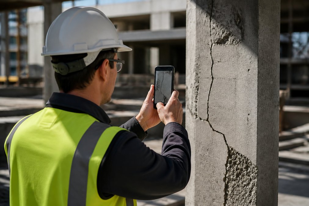
Tagofy enforces this discipline by requiring you to tag photos with an event key as you capture them. Every photo belongs to that session automatically, so photos are already sorted by location and task the moment you hit the shutter button. When you return to the office, there’s no manual sorting, photos are ready to export into a formatted field report.
Inspector App takes a more flexible approach. You capture photos freely, then organize them into folders afterward. This works if your team has strong post-site discipline, but it creates a common failure point: photos sit on devices for days or weeks before they’re sorted, and context gets lost.
For construction companies documenting site progress across multiple projects, Tagofy’s session-based organization prevents chaos. The metadata embedded in each photo, GPS coordinates, timestamp, altitude data, becomes your audit trail. If a client disputes whether a defect was present on the inspection date, your geotagged photos with precise timestamps provide documentary evidence.
Geotagging App Data Privacy Compliance and Security
Field documentation often contains sensitive information: property addresses, structural defects, security vulnerabilities, and sometimes personally identifiable information. The moment you attach GPS coordinates to a photo, you’re creating a permanent record of where you were and what you documented.
Data privacy hinges on three questions: Where is the data stored? Who can access it? Can you control whether GPS data is included?
Tagofy provides a privacy control feature that allows you to toggle GPS tagging on or off, valuable if you’re documenting in sensitive locations or for clients who prefer location data stripped from final reports. You can capture geotagged photos for your own site verification, then export reports without coordinates if required.
Inspector App stores data through standard cloud infrastructure, which is secure but offers less granular control over what metadata gets included in exports. If you need to share photos with clients or third parties, you may need to manually strip metadata using desktop tools before sending files.
For professional inspectors, compliance extends beyond privacy to data integrity. Your field documentation may be subject to regulatory requirements depending on your industry. Both apps provide timestamp and GPS evidence, but neither offers cryptographic verification for forensic-level scrutiny. Tagofy’s session-based organization creates a cleaner audit trail because photos are organized by task before export.
Automated Field Report Generation Tools and Integration
After capturing and organizing field photos, the real work begins: turning raw images into professional reports that clients will read.
Tagofy generates formatted field reports automatically from your session data. You select a session, the app compiles all photos from that event key, embeds the timestamps and GPS coordinates as metadata, and exports a structured report file. This automation saves time per inspection compared to manually assembling photos and writing summaries.
Inspector App requires more manual assembly. You export photos and metadata, then use a separate tool to build your report. This flexibility is valuable for complex reporting requirements, but it’s a time sink if you’re generating dozens of inspections monthly.
For infrastructure managers tracking equipment maintenance across multiple project sites, automated report generation becomes significant. If you’re generating 20 reports per week, Tagofy’s built-in formatting can save considerable time monthly.
The integration question matters if you’re already using project management platforms. Inspector App’s broader compatibility with third-party software means you can push photos directly into Fieldwire or other project tracking systems. Tagofy’s integration ecosystem is narrower but growing.
Offline Functionality and Data Reliability
Field documentation only works if it works when you don’t have cell service. A construction site in a remote location, a basement survey, or a dense urban area with poor signal, these are exactly the conditions where you need your documentation app to keep functioning.
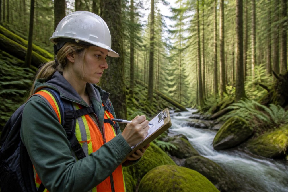
Tagofy was built with offline-first architecture (peer-reviewed research). The app captures photos, timestamps, GPS coordinates, and annotations entirely on your device. When connectivity returns, the app syncs all data to cloud storage automatically. You never lose work because you lost signal.
Inspector App offers limited offline support. You can capture photos without service, but some features degrade or become unavailable. Syncing may be delayed or incomplete if you’re in a dead zone for extended periods. For inspectors working on sites with spotty cell service, this creates real risk: photos sit on devices longer, and you can’t verify that data actually synced until you’re back in coverage.
If you’re documenting compliance across multiple project sites and can’t afford to lose a single photo, Tagofy’s offline-first approach eliminates that risk. Inspector App’s cloud-dependent model works fine with reliable connectivity, but it’s a liability in remote areas.
Which Solution Fits Your Inspection Workflow
Choosing between Inspector App and Tagofy depends on your specific workflow, team size, and how you use field documentation.
Choose Tagofy if:
- You need structured, session-based organization that forces consistency across inspectors
- You want automated field report generation to save post-site work
- You work in remote areas or sites with unreliable connectivity
- Your team uses voice annotations extensively
- You need searchable photo libraries organized by event key
- You’re documenting for compliance purposes and need clear audit trails
- You want privacy controls like switchable GPS for sensitive locations
Tagofy’s strength is turning field documentation into a structured process. For environmental consultants, infrastructure managers, and construction supervisors who generate multiple reports weekly, this automation pays for itself in time savings.
Choose Inspector App if:
- You’re already invested in a broader ecosystem of tools and need compatibility
- Your team prefers flexible, post-capture organization
- You work primarily in areas with reliable cell service
- You need broad platform support (iOS and Android equally)
- You have complex reporting requirements that need custom assembly
- You want integration with specific third-party software
The real question: Are you solving for speed and consistency (Tagofy), or for compatibility and flexibility (Inspector App)? Most field inspection teams benefit from Tagofy’s structure, but if you’re embedded in a specific software ecosystem, Inspector App’s integration advantages might be decisive.
Conclusion
Field documentation apps are only useful if they fit how your team actually works in the field. Tagofy wins on structured organization, offline reliability, and automated reporting, making it a strong choice for professional inspectors who need to generate multiple polished reports weekly. Inspector App remains valuable if you need broad platform compatibility or prefer flexible post-capture organization.
For teams documenting site progress, defects, and compliance across multiple projects, PhotoLog offers another powerful option. PhotoLog transforms your Android device into a professional-grade field documentation tool with automatic geotagging, voice and typed annotations, instant searchability by event key or date, and exportable ZIP files with formatted field reports. The built-in session-based organization and switchable GPS privacy controls make it ideal for inspectors who need both structure and control over their sensitive site data. Download PhotoLog free and see how automatic metadata and formatted reporting can enhance your post-site work.
=== FAQ ANSWERS (audit these too, same rules) ===
[1] Q: How accurate are GPS coordinates and timestamps in field documentation apps?
A: GPS accuracy in field documentation apps typically ranges from 5 to 15 metres under clear sky conditions (peer-reviewed research). Timestamp accuracy is precise to the second. For professional inspection reports, especially environmental surveys or infrastructure audits requiring compliance documentation, verify your app’s accuracy specifications before relying on it for official records. Most professional apps display metadata showing latitude, longitude, and altitude data alongside photos, allowing you to confirm accuracy before submitting reports.
[2] Q: What should I look for in field documentation best practices?
A: Effective field documentation requires consistent photo organization, precise location and time data, searchable metadata, and professional report formatting. Key practices include using session-based keys or project tags to group related images, capturing multiple angles of defects or conditions, adding voice or typed annotations during the visit rather than afterward, and ensuring offline access so documentation continues without cell service. Professional software should generate audit trails showing when and where each photo was taken, supporting compliance requirements.
[3] Q: How do these apps handle geotagging app data privacy compliance?
A: Data privacy compliance depends on where your photos and location data are stored and who can access them. Look for apps offering switchable GPS functionality so you can control when geotagging is active, encrypted storage for sensitive site documentation, and clear policies on data retention and sharing. For construction or environmental work involving client sites, confirm the app allows you to manage user permissions and export data in formats you control. Review the app’s privacy policy to understand how location metadata is handled and whether it meets your industry’s compliance standards.
[4] Q: Can field documentation apps work offline and sync automatically?
A: Yes, professional field documentation apps support offline functionality, storing photos and metadata locally on your device until connectivity returns. When internet access resumes, the app automatically synchronizes your images, timestamps, GPS coordinates, and notes to cloud storage. This is essential for remote construction sites, environmental surveys, and infrastructure inspections where cell service is unreliable. Verify the app’s sync reliability and storage capacity before deploying it across multiple field workers to avoid data loss or bottlenecks.
Frequently Asked Questions
How accurate are GPS coordinates and timestamps in field documentation apps?
GPS accuracy in field documentation apps typically ranges from 5 to 15 metres under clear sky conditions. Timestamp accuracy is precise to the second. For professional inspection reports, especially environmental surveys or infrastructure audits requiring compliance documentation, verify your app's accuracy specifications before relying on it for official records. Most professional apps display metadata showing latitude, longitude, and altitude data alongside photos, allowing you to confirm accuracy before submitting reports.
What should I look for in field documentation best practices?
Effective field documentation requires consistent photo organization, precise location and time data, searchable metadata, and professional report formatting. Key practices include using session-based keys or project tags to group related images, capturing multiple angles of defects or conditions, adding voice or typed annotations during the visit rather than afterward, and ensuring offline access so documentation continues without cell service. Professional software should generate audit trails showing when and where each photo was taken, supporting compliance requirements.
How do these apps handle geotagging app data privacy compliance?
Data privacy compliance depends on where your photos and location data are stored and who can access them. Look for apps offering switchable GPS functionality so you can control when geotagging is active, encrypted storage for sensitive site documentation, and clear policies on data retention and sharing. For construction or environmental work involving client sites, confirm the app allows you to manage user permissions and export data in formats you control. Review the app's privacy policy to understand how location metadata is handled and whether it meets your industry's compliance standards.
Can field documentation apps work offline and sync automatically?
Yes, professional field documentation apps support offline functionality, storing photos and metadata locally on your device until connectivity returns. When internet access resumes, the app automatically synchronizes your images, timestamps, GPS coordinates, and notes to cloud storage. This is essential for remote construction sites, environmental surveys, and infrastructure inspections where cell service is unreliable. Verify the app's sync reliability and storage capacity before deploying it across multiple field workers to avoid data loss or bottlenecks.
This article was written using GrandRanker