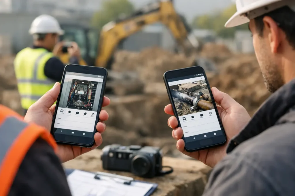
Photo Documentation App Comparison for Field Work
This photo documentation app comparison shows what field teams need for faster capture, clearer records, GPS context, and practical exports on Android.
This photo documentation app comparison shows what field teams need for faster capture, clearer records, GPS context, and practical exports on Android.
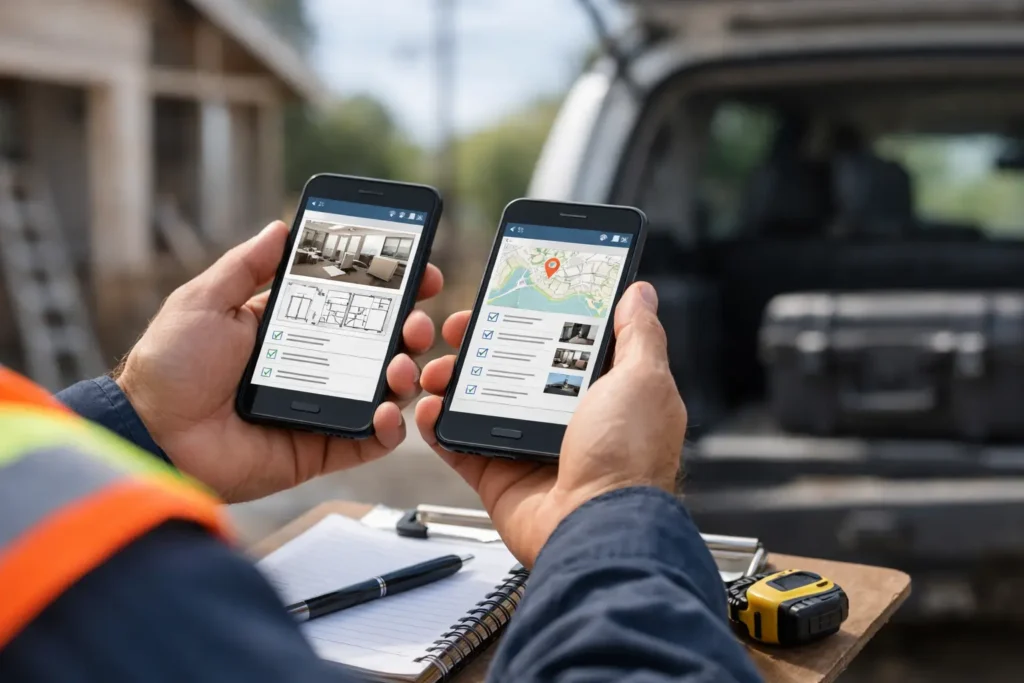
Compare the best mobile apps for inspectors by workflow, evidence capture, reporting, and team needs. Choose a field tool that keeps records usable daily.
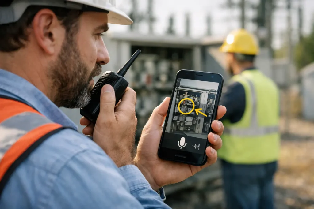
Voice annotated photos Android users can capture faster, preserve field context, and organize searchable records by session, date, and location reliably.
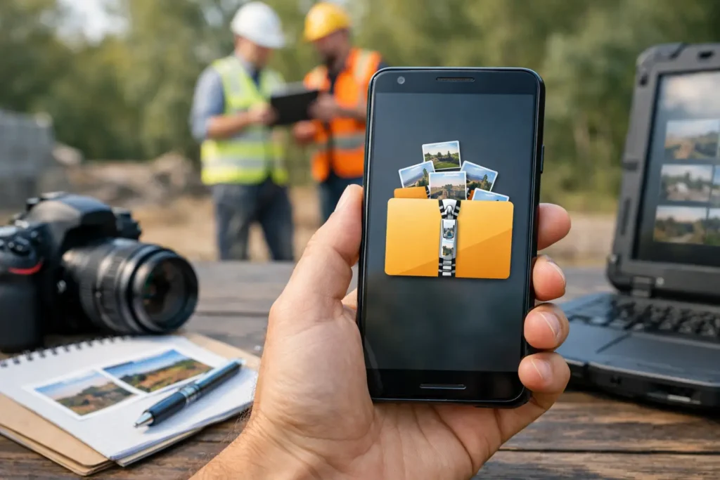
Create zip photo reports Android teams can share, archive, and search with images, notes, dates, locations, and clear project keys in one field workflow.
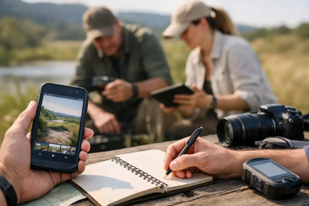
Use this guide to field photo workflows to capture, tag, organize, and export field evidence without losing the location, notes, or timing at capture.
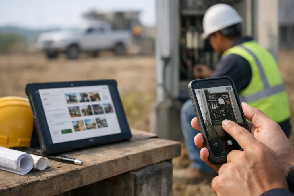
Photo documentation software captures geotagged images, notes, and timestamps in a field workflow, so records stay searchable, organized, and ready to share.
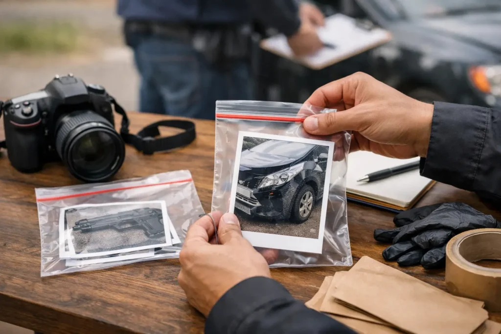
Learn how to package photo evidence with labeled files, clear context, location data, and a review-ready report that is easy to share and retrieve later.
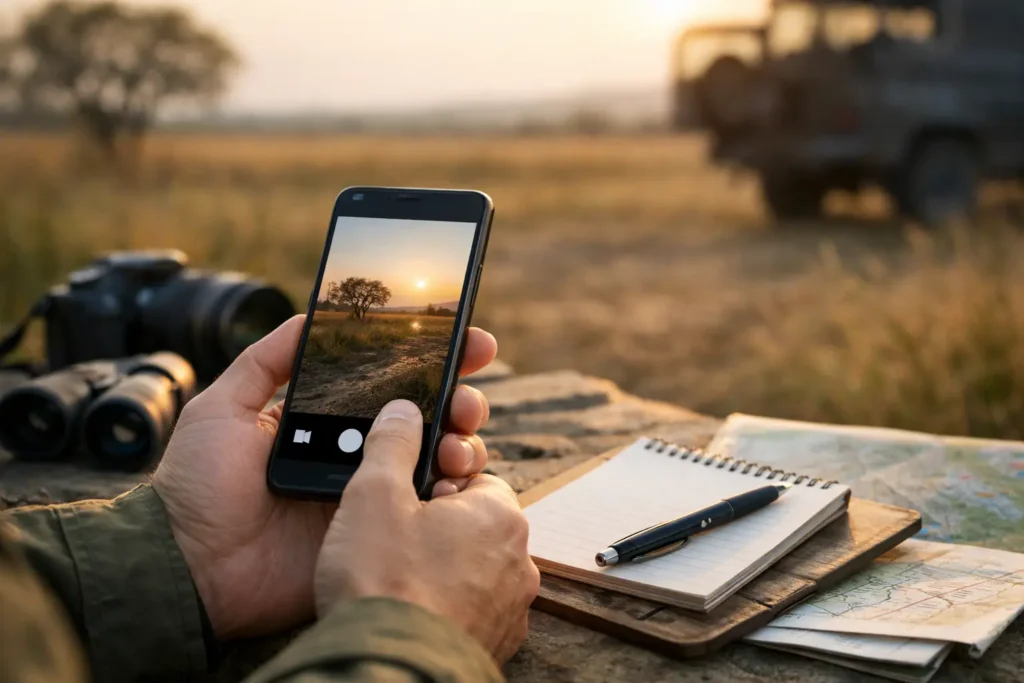
Learn how to capture photos with timestamps, locations, notes, and session keys so field records stay traceable, searchable, and ready to share reliably.
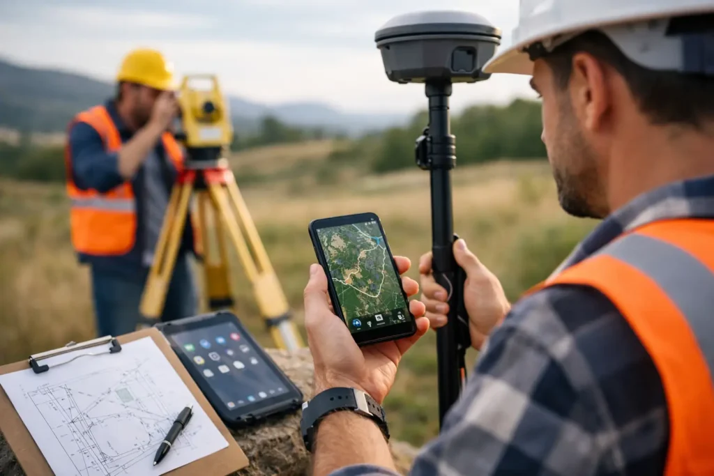
Find the top android apps for surveyors, from GNSS field tools to organized photo records, and build a faster, more traceable workflow on every site visit.
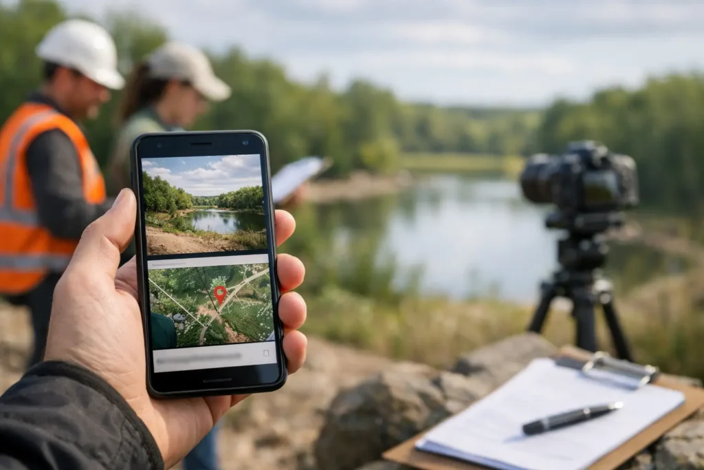
GPS stamped images add location, time, and notes to every field photo, creating searchable evidence that is ready for review, sharing, and records later.

See an inspection team photo workflow example that captures evidence, records context, assigns ownership, and delivers a searchable field record quickly.

Use this site inspection photo workflow example to capture evidence, add context, organize records, and export a report without sorting a camera roll.