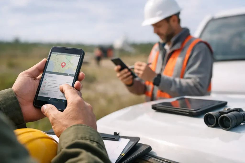
7 Best Apps for Field Records
Compare the best apps for field records for photos, notes, GPS, and reports. Find the right tool for inspections, surveys, and fieldwork.
Compare the best apps for field records for photos, notes, GPS, and reports. Find the right tool for inspections, surveys, and fieldwork.
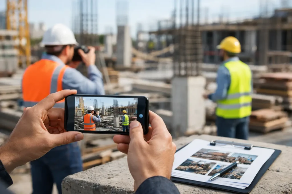
Learn how to document work progress photos with consistent structure, clear notes, GPS data, and faster reporting from the field.
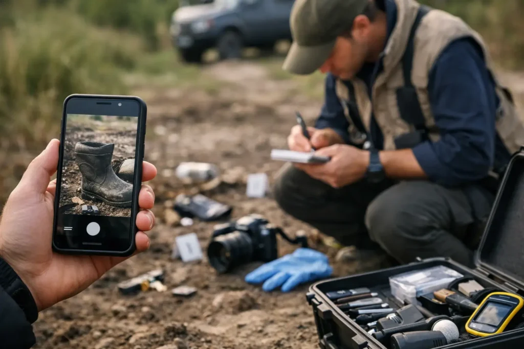
Learn how to log field evidence with photos, notes, timestamps, and GPS data so every record is organized, searchable, and easy to share.
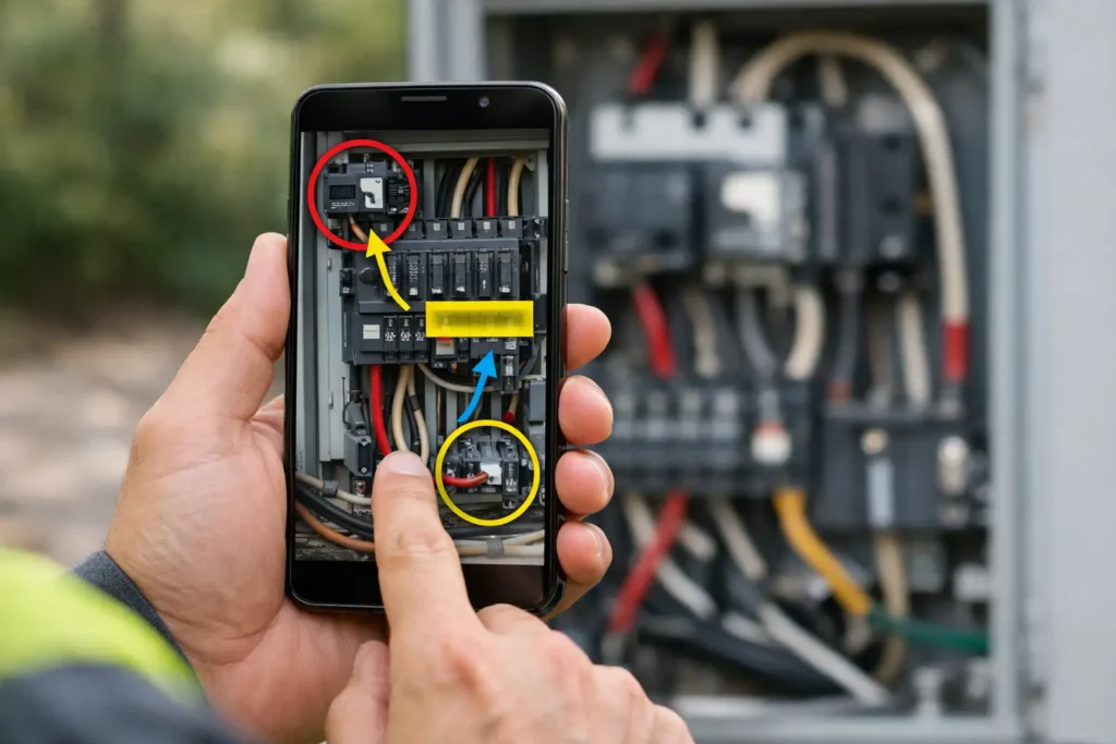
Learn how to capture annotated field images with GPS, timestamps, notes, and searchable session keys for faster, cleaner documentation.
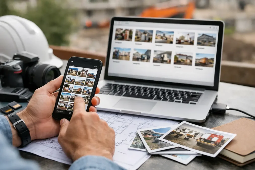
Learn how to organize project photos by key for faster capture, cleaner records, and easier retrieval across inspections, research, and field work.
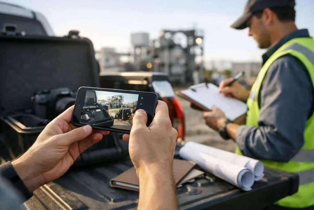
A structured photo capture workflow helps teams document faster with GPS, notes, timestamps, and searchable records in one field-ready process.
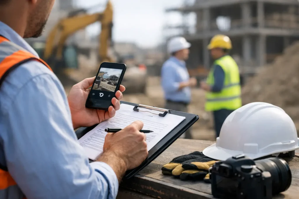
Learn how to document site visits with a faster workflow for photos, notes, timestamps, GPS data, and reports that stay organized and usable.
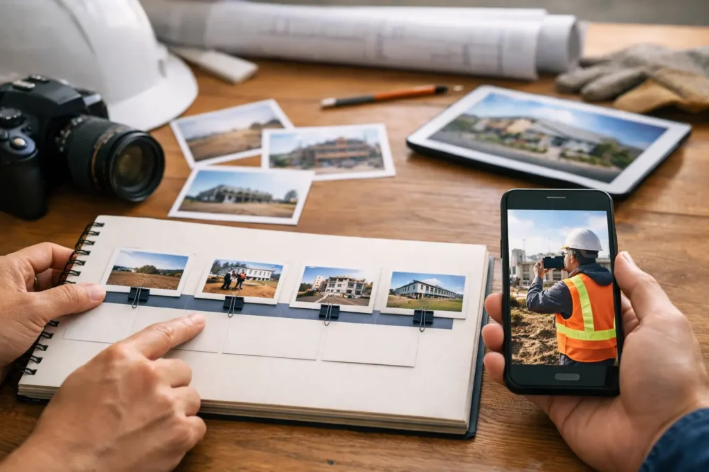
Learn how to build a project photo timeline with structured capture, timestamps, notes, and location data so every project record stays usable.
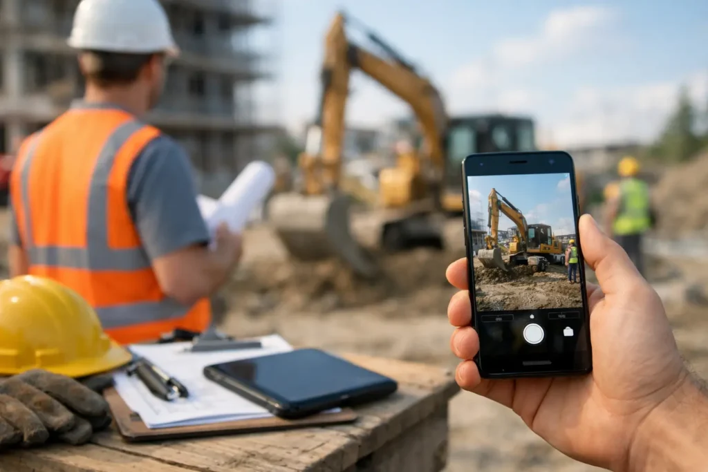
A camera app for jobsite records should do more than take photos. Learn what field teams need to capture, tag, find, and export proof fast.
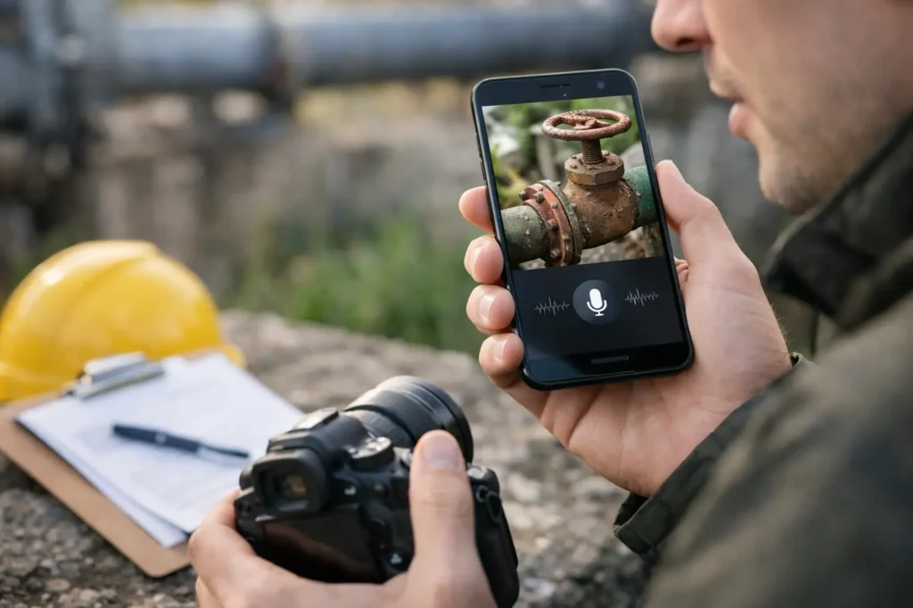
Learn how to use dictation for photo notes to capture context faster, reduce typing, and keep field photos searchable, organized, and usable.
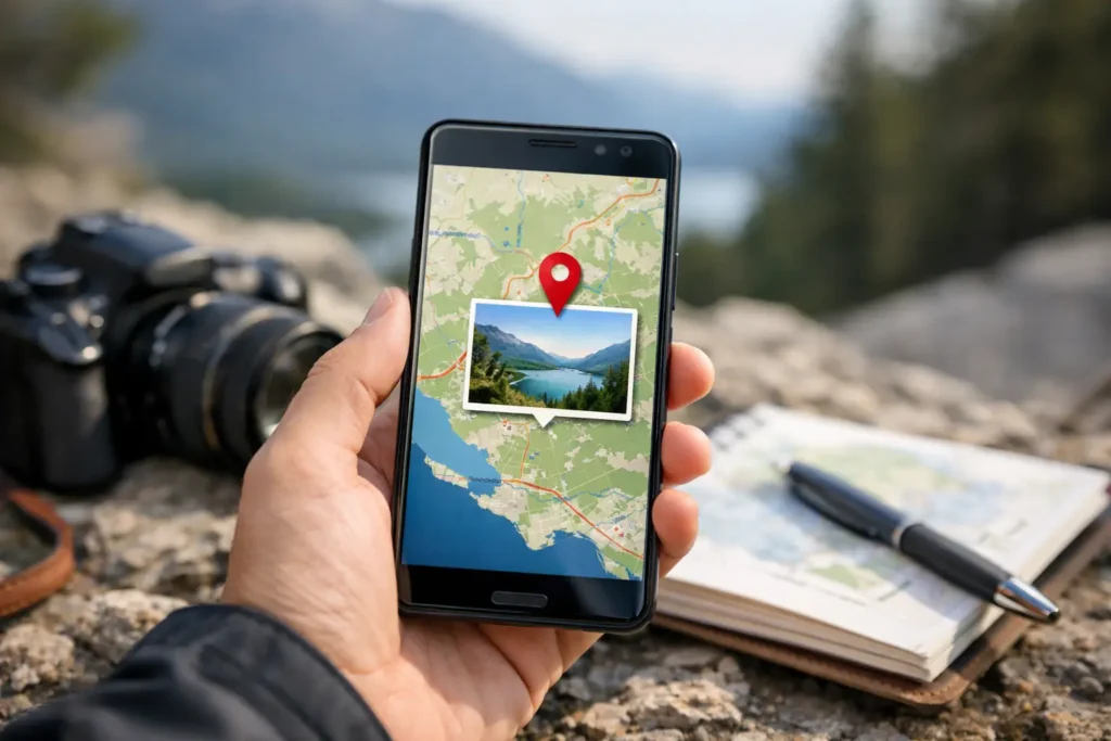
How accurate is photo geotagging? Learn what affects GPS precision in photos, what errors to expect, and how to improve field documentation fast.
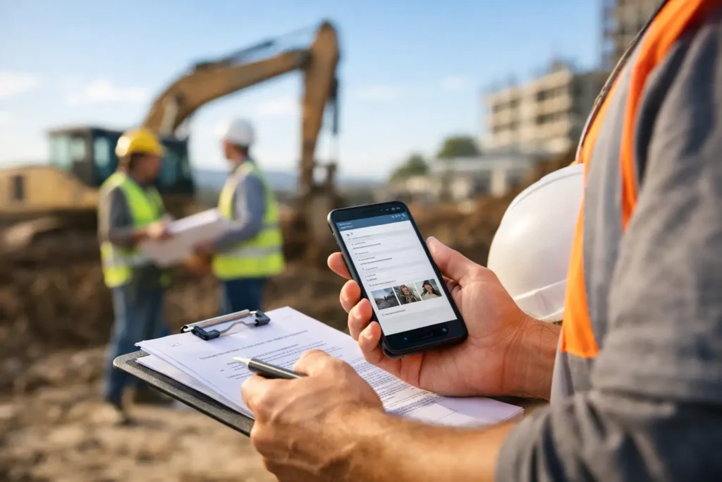
Field documentation software guide for teams that need faster photo capture, notes, GPS context, and searchable records from the field.