Table of Contents
- Why Image Sharing Matters for Infrastructure Teams
- Core Features That Enable Easy Sharing of Images and Data
- Alternatives to Manual Field Data Entry for Inspections
- Best Practices for Infrastructure Site Reporting
- How to Automate Site Documentation
- Privacy and Security in Data Sharing
- Frequently Asked Questions
Last Updated: September 29, 2026
Why Image Sharing Matters for Infrastructure Teams
Field documentation has always been tedious. Inspectors spend hours after every site visit organizing photos, matching them to locations, and manually typing notes. The result: incomplete records, lost context, and reports that take days to compile. Modern infrastructure teams using image sharing infrastructure apps can’t afford that workflow anymore.
The real problem isn’t the volume of images, it’s the friction between capture and usability. A photo without location data, timestamp, or context is just a file. A photo with all three becomes evidence. Enables easy sharing of images and data via any phone app for infrastructure software transforms raw captures into searchable, reportable assets instantly. This distinction matters because it determines whether your team spends time documenting or time organizing. Integrating high-resolution aerial perspectives requires the same level of metadata precision found in modern drone mapping software to ensure that every captured site detail remains actionable within your broader infrastructure workflow.
According to Statistics Canada’s 2025 construction productivity report, field teams lose an average of 8-12 hours per week to manual data organization and reporting. The cost compounds across multiple inspectors and project sites. Teams that automate this workflow see measurable improvements in compliance accuracy and project timeline adherence.
PhotoLog addresses this gap by building documentation intelligence directly into the Android camera. Every image is automatically geotagged, timestamped, and annotated with voice or typed notes. The result: searchable, organized records that are ready for reporting without post-processing.
Core Features That Enable Easy Sharing of Images and Data
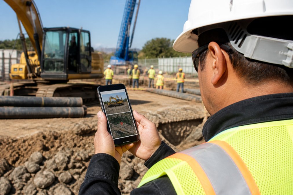
The foundation of effective field documentation rests on three capabilities: location precision, temporal accuracy, and instant retrievability. Without these, you’re collecting images, not creating evidence.
Geotagging and Location Accuracy
Automatic GPS geotagging captures exact coordinates with every photo. This matters for compliance, environmental surveys, structural inspections, and safety audits all require precise location records. PhotoLog logs latitude, longitude, and altitude data automatically, eliminating manual entry and the errors that come with it.
Location accuracy becomes critical when you’re managing multiple sites. A photo tagged with GPS coordinates is instantly sortable by project location. Cross-reference inspections across sites without hunting through folders. For environmental consultants performing field surveys, precise geotagging provides the evidence chain regulators expect.
Enable GPS verification before relying on geotagged photos for official compliance reports. Test the accuracy on your site by comparing PhotoLog coordinates to a handheld GPS unit. Most Android devices maintain accuracy within 5-10 meters in open environments; accuracy degrades in urban canyons or dense forest cover.
Automatic Timestamping and Metadata
Every photo captures the exact moment of capture, date, time, and timezone. This metadata layer transforms images into a chronological record of site conditions. For construction projects, timestamped photos prove progress at specific dates. For safety inspections, they document when hazards were identified and remediated.
Metadata also enables quick filtering. Search by date range to find all photos from a specific inspection day. This capability alone eliminates hours of manual sorting across hundreds of images.
Offline-First Data Synchronization
Field sites often lack reliable connectivity. Remote inspection areas, underground structures, and dense urban environments all present connectivity challenges. PhotoLog operates fully offline, capture, annotate, and organize images without internet. Data synchronizes automatically when connection returns.
Offline-first architecture means you never lose data due to spotty service. The app stores everything locally until sync conditions are met. For teams working in rural areas or underground infrastructure, this is non-negotiable.
Offline mode requires sufficient local storage on your Android device. Large batches of high-resolution photos can consume 500MB to 2GB per site visit. Verify available storage before field work, or compress images if space is constrained. Running out of storage mid-inspection creates gaps in your documentation.
Alternatives to Manual Field Data Entry for Inspections
Manual entry is the enemy of accuracy. Inspectors typing notes hours after leaving the site introduce errors, miss details, and waste time that could be spent on actual inspection work. The alternative is capturing context at the moment of capture.
Dictated notes work faster than typed entries for field teams. PhotoLog supports voice annotation, speak observations directly into the app while on site. The audio is linked to the photo, creating a complete record. For inspectors conducting rapid site walkthroughs, voice notes accelerate documentation without sacrificing detail.
Typed notes remain an option for teams that prefer written records. PhotoLog accepts both input methods, letting teams choose their workflow. The key is capturing the context at capture time, not reconstructing it later.
Construction inspectors conducting daily site walkthroughs who need rapid documentation without returning to the office to write reports. Voice annotation cuts entry time in half compared to manual typing.
Session-based organization is another alternative to manual sorting. Instead of dumping all photos into a single folder, PhotoLog lets you organize by session, a logical grouping tied to a specific inspection, project, or event. Each session acts as a container for related photos, notes, and metadata. This structure eliminates the need to manually sort and categorize images after capture.
Best Practices for Infrastructure Site Reporting
Professional reports demand consistent structure and complete documentation. The difference between a useful report and a useless one often comes down to organization and clarity.
Start with a clear session naming convention. Use project name, date, and inspection type: “ProjectAlpha-2026-09-28-StructuralInspection.” This naming scheme ensures reports are instantly sortable and searchable. When you’re managing dozens of projects, consistent naming prevents confusion and lost files.
Capture context with every photo.
How to Automate Site Documentation
Automation reduces manual work and improves consistency. The goal is moving from “capture and organize later” to “capture and organize automatically.”
Session-Based Organization and Searchability
Create a new session for each distinct inspection or project activity. PhotoLog automatically timestamps the session and groups all photos within it. Search by session name, date range, or location to retrieve specific documentation sets. This structure means you never dig through a massive photo library looking for a specific inspection.
Formatted Report Generation and Export
PhotoLog generates formatted reports directly from your session data. The app exports ZIP files containing organized photos, timestamped metadata, and your annotations. Reports are ready to share with clients, regulators, or internal teams without additional formatting.
Formatted reports are your competitive advantage. Teams that deliver professional documentation within 24 hours of site inspection win more repeat business and referrals. Automation makes this timeline realistic instead of aspirational.
Privacy and Security in Data Sharing
Sensitive site documentation requires controlled access. You need to share reports with authorized stakeholders without exposing data to unauthorized parties. PhotoLog provides privacy controls that let you decide what gets shared and with whom.
Encryption Standards and End-to-End Protection
PhotoLog provides privacy controls that let you decide what gets shared and with whom.
GPS Data and Location Privacy
GPS data is switchable, toggle geotagging on or off depending on project requirements. Some clients don’t want location coordinates in reports; others require them for compliance. PhotoLog lets you control this per session or per export. This flexibility ensures you meet different client requirements without maintaining separate workflows.
Data Sharing Mechanisms and Regulatory Compliance
Data sharing happens through multiple channels depending on your workflow. Direct export generates a ZIP file containing organized photos, timestamped metadata, and annotations. You control which photos and data are included in each export. Sensitive information stays private; approved documentation reaches stakeholders via email, cloud storage, or direct transfer.
Exporting reports containing GPS coordinates creates a permanent location record. Verify client privacy requirements before including geotagged data in shared reports. Some projects prohibit location data in external reports for security reasons. Use PhotoLog’s privacy controls to comply with these restrictions without losing internal location context.
Privacy controls are your liability shield. Teams that demonstrate clear data governance, encrypted storage, controlled sharing, audit logs, satisfy regulatory audits faster and build client trust. Privacy controls are your liability shield. Teams that demonstrate clear data governance, encrypted storage, controlled sharing, audit logs, satisfy regulatory audits faster and build client trust.
Frequently Asked Questions
How does geotagging improve the accuracy of field reports for infrastructure documentation?
Geotagging automatically records the exact GPS coordinates where each photo was taken, eliminating manual location entry errors. For infrastructure projects, this creates a precise spatial record of site conditions, equipment placement, and defects. Field inspectors can verify location accuracy before relying on reports for compliance or client handoff, ensuring every image is tied to verifiable coordinates that match project maps and site boundaries.
What are the main alternatives to manual field data entry for inspections?
Mobile apps with automated capture eliminate manual data entry by automatically recording timestamps, GPS coordinates, and metadata when photos are taken. Session-based organization groups photos by project or inspection type, reducing sorting time. Instant searchability by date or event key lets inspectors retrieve images without browsing hundreds of files. Formatted report generation transforms raw photos into professional documents automatically, removing the need to manually compile and format data after fieldwork ends.
Can infrastructure apps work offline, and how does data synchronization happen when connectivity returns?
Offline-first apps store photos, notes, and metadata locally on your device while in remote areas with no cell service. When connectivity returns, the app automatically synchronizes all captured data to cloud storage or shared repositories without manual intervention. This approach prevents data loss in spotty coverage zones and allows field teams to maintain productivity regardless of network availability. Session-based organization ensures all offline captures remain grouped and searchable after sync completes.
How do automated time-stamping and note features improve site documentation workflows?
Automatic date and time stamping records when each photo was taken without inspector input, creating an accurate chronological record of site progress and conditions. Voice or typed annotations let inspectors add context directly during fieldwork rather than writing notes separately afterward. Combined with geotagging, this creates searchable records where inspectors can instantly find all photos from a specific date, location, or annotated issue type. Formatted reports then pull these timestamped, annotated images into professional documents automatically, reducing report-writing time from hours to minutes.
Infrastructure teams that automate site documentation gain a competitive edge. PhotoLog transforms your Android device into a professional-grade field documentation tool, automatic geotagging, timestamped photos, voice annotations, and formatted reports all built in. Download PhotoLog free today and see how much time you reclaim when documentation happens automatically instead of manually. Get started with PhotoLog and eliminate hours of post-site paperwork each week.